The Desert Lowlands of Zion National Park
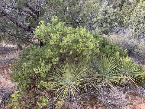
The area of Zion National Park that lies to the southwestern corner is full of various cacti, yucca, and sagebrush and is much less frequently visited that Zion Canyon itself. Many of the trails in this Desert Lowlands area will be less traveled and perhaps even difficult to find at all. The views offered in this area are the many buttes and “Painted Desert” areas. In the winter and early spring, the clay ground in the area is often quite muddy and in the summer the area is quite hot, making late spring and especially Autumn the best seasons to visit the Desert Lowlands of Zion National Park.
Eagle Crags Trail
Description: The Eagle Crags Trail takes you to the bottom of Eagle Crags in the Vermillion Cliffs.
Distance: 3 Miles One Way
Difficulty: Somewhat Strenuous
Highest Elevation: 5,000 Feet Above Sea Level
Jurisdiction: BLM (Bureau of Land Management), Kanab Field Office.
Distance: 3 Miles One Way
Difficulty: Somewhat Strenuous
Highest Elevation: 5,000 Feet Above Sea Level
Jurisdiction: BLM (Bureau of Land Management), Kanab Field Office.
Chinle Trail
Description: The Chinle Trail takes you through Zion’s Desert Lowlands until you arrive at Coalpits Wash.
Distance: 8.1 Miles one-way.
Difficulty: Moderate
Highest Elevation: 4,400 Feet Above Sea Level
Hazards: Gets extremely hot in the summer.
Jurisdiction: Zion National Park
Distance: 8.1 Miles one-way.
Difficulty: Moderate
Highest Elevation: 4,400 Feet Above Sea Level
Hazards: Gets extremely hot in the summer.
Jurisdiction: Zion National Park
Chinle Trail: Shortcut from Chinle Trail to Upper Coalpits
Description: This is a shortcut trail that takes you from the Chinle Trail to Upper Coalpits Wash
Distance: 1.2 miles
Difficulty: Moderate
Highest Elevation: 4,480 Feet Above Sea Level
Jurisdiction: Zion National Park
Distance: 1.2 miles
Difficulty: Moderate
Highest Elevation: 4,480 Feet Above Sea Level
Jurisdiction: Zion National Park
Huber Wash
Description: A trail that follows Huber Wash through the desert in the southwestern Desert Lowlands area of Zion National Park.
Distance: 2.4 Miles One-Way
Difficulty: Moderate
Highest Elevation: 4,160 Feet Above Sea Level
Jurisdiction: Zion National Park
Distance: 2.4 Miles One-Way
Difficulty: Moderate
Highest Elevation: 4,160 Feet Above Sea Level
Jurisdiction: Zion National Park
Crater Hill to Upper Coalpits Wash
Description: A short trail that leads from Crater Hill to Coalpits Spring.
Distance: 2.1 Miles One-Way to the Coalpits Spring
Difficulty: Moderate
Highest Elevation: 4,400 Feet Above Sea Level
Jurisdiction: Zion National Park
Distance: 2.1 Miles One-Way to the Coalpits Spring
Difficulty: Moderate
Highest Elevation: 4,400 Feet Above Sea Level
Jurisdiction: Zion National Park
Scoggins Wash
Description: The Scoggins Wash Trail takes you up Scoggins Wash through the Desert.
Distance: 5.3 Miles One-Way
Difficulty:Moderate
Highest Elevation: 4,600 Feet Above Sea Level
Jurisdiction: Zion National Park
Distance: 5.3 Miles One-Way
Difficulty:Moderate
Highest Elevation: 4,600 Feet Above Sea Level
Jurisdiction: Zion National Park