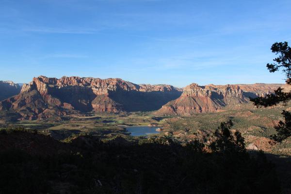
Eagle Crags Trail
Description: The Eagle Crags Trail takes you to the bottom of Eagle Crags in the Vermillion Cliffs.
Distance: 3 Miles One Way
Difficulty: Somewhat Strenuous
Highest Elevation: 5,000 Feet Above Sea Level
Jurisdiction: BLM (Bureau of Land Management), Kanab Field Office.
The trailhead for the Eagle Crags Trail is located on BLM land rather than Zion National Park itself and is near the small town of Rockville, Utah. To find the Eagle Crags Trailhead from Zion National Park, follow these directions:
Beginning at the south entrance of Zion National Park, drive west on Utah Highway 9 for about 5 miles. This will take you through Springdale and on into Rockville.
Just after getting into Rockville, look for a left turn (towards the south) onto Bridge Road.
Continue straight on Bridge Road as it soon becomes Eagle Crags Road, which is only a dirt road so make sure your vehicle has high enough clearance and that the road is in good enough condition to safely travel it.
Follow Eagle Crags Road until you arrive at the Eagle Crags Trailhead.
This hike, like many of the hikes in the Desert Lowlands area of Zion National Park, is best done when it is not too hot, since there are few trees and very little shade to be found. The Eagle Crags trail is rather strenuous since there are plenty of steep hills with rocky, uneven footing. The Eagle Crags Trail takes you to the foot of Eagle Crags and then climbs sharply uphill to grant a better view of them.

